We went cruising in a borrowed Nova – a Mohawk Nova 17 canoe. Before the cruise some challenges arose, including a brief turnaround to pick up a map from home. While shuffling through my keys as I walked around the car I missed the canoe stern protruding past the car’s rear and whacked the boat with my head. That misadventure over, the day went great, and my good fortune included having the company of my son Eliot as my paddling partner. We had made a survey the previous weekend of the landing on Wambaw Creek a couple of miles past Hampton Plantation on Rutledge Road. We planned to take the last of the outgoing tide via Wambaw Creek to Hampton Creek, and connect with the South Santee River at the east end of that island. From there, we would circle back around the island in the South Santee, closing the loop in coming back into Wambaw Creek.
The water was much lower than previously seen at the landing, and we had a stretch of mud to cross in floating the Nova. Our float down Wambaw Creek began in late morning. We soon rounded the first bend, and the creek’s calm engulfed us. 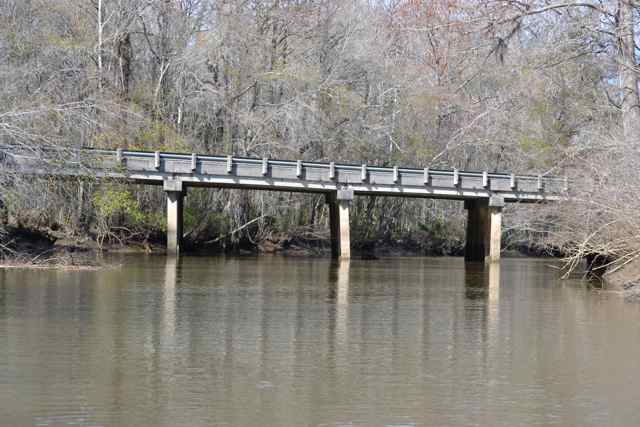 From his vantage point in the bow Eliot had first view of wildlife: alligators, a white-tailed deer, and birds including a great blue heron rising from the waters and leading us downstream. The creek marked the boundary between distinct properties: Francis Marion National Forest on our left, and private land – White Oak Forestry – on our right. I looked for historic signs along the private tract, since these lands once belonged to Elie Horry as part of his Wambaw Plantation. I saw no signs until a modern picnic table and plastic crate appeared on a high bluff nearer the river. I imagined other paddlers floating down this same creek headed for the Santee RIver and beyond: Seewees, Santees, slaves, French Hugenots, and Marion’s men.
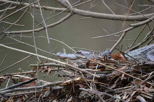
The sun came out fully, and the conditions turned to delightful. February 4th: a t-shirt was sufficient. The water felt relatively warm, and the budding of trees was happening even before the usual timing in the backwater swamps. The crowns of cypress were already fleshing out. We worked our way around snags with no problem and with little effort since we still were the beneficiaries of plenty of flow. A small snag in midstream of a bend had debris on it, and in approaching we noticed that a small alligator was sunning on this platform.
 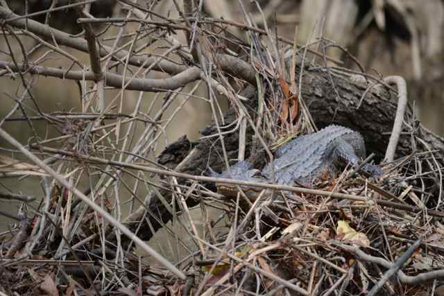 We came up from downstream for a closer look, and the reptile allowed this proximity until finally dropping down from the perch and swimming off.
We had been noticing stands of giant cut grass, and these tall plants became more common as we got closer to the river. 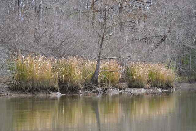 Prior to the last section of the Wambaw Creek connecting directly to the South Santee River, we turned to the east into Hampton Creek which separates Hampton Island from the mainland. The grass dominated along here on both banks. Approaching low tide, the muddy banks jutted out in shallows, but we still found plenty of water in the creek’s middle. Historically Hampton Island had been transformed by the construction of rice fields, and an old dike paralleling the creek bank stood out by a row of pines.
 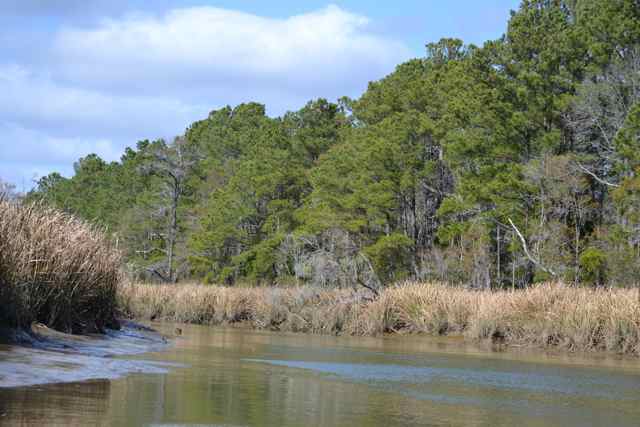 These earthen works were not created with large machinery, but the labor of slaves.
On the mainland side a large open area marked the beginning of Hampton Plantation, and the chimneys of Hampton House came into view through the trees. An open section along the muddy bank allowed us to peer up the garden path climbing to the house. No person was seen here, nor anywhere else for the entire trip. There was no wharf along this bank, though once this would have been the main entrance to the plantation. Archibald Rutledge, owner of Hampton and first SC Poet Laureate, would have shoved off from a dock on this bank many times, both in his childhood and upon his return in later life.
We passed the remainder of the lands of Hampton Plantation, and turned to the northeast toward the river. Quick movement on the muddy bank of the island and an explosion of water startled us as a large alligator joined us in the creek, its wake pulsating the waters. We did not wait around to see where the giant might rise. The entrance to the river was not far, and we picked a snag to tether our canoe right at the mouth for a lunch stop. It was an idyllic spot, as we were bathed with the sun, caressed by a warm breeze, and graced by the views out into the South Santee River. 
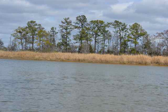 After lunch, at the turn of the tide, we set out into the river to complete our rounding of the island. We encountered smooth water, and the wind mainly at our back for the first section. I recalled a trip Archibald Rutledge made one moonlit night with a black boatman in a dugout cypress canoe, heading to a place downriver for a couple days of duck hunting. Fog closed in their vision where they could not see past their bow, nor view the banks of the Santee. They began to hear surf in the distance, and the Santee became choppy, splashing gallons of water into their hull and threatening a capsize. The sunrise came, and they were in fact almost in the ocean.
More alligators were found sunning on the Santee’s banks, but did not allow a closer look, these reptiles being wary of us and entering the water. Eliot called out when a large bird with a long unusual tail flew over the Delta, and the field marks identified it as a bald eagle carrying a long clump of nesting materials trailing behind it. Approaching a turn in the river, a great egret marked the shallow water near the point where it stood. 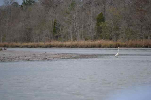 I looked for a place to step up on the island to take a peek, and the low tide exposed muddy landing everywhere. I found a cypress tree along the water’s edge that served as a place to scramble up without getting in the mud (hopefully), and Eliot stayed in the canoe while I climbed ashore.
 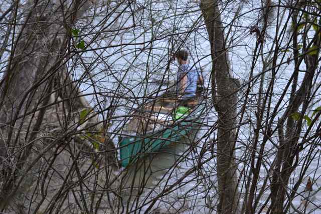 I looked carefully for snakes as I walked around through the forest floor sprinkled with saw palmetto.
 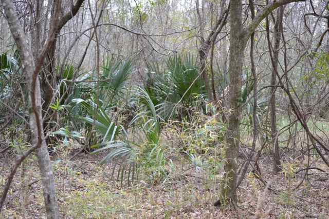 Some signs of man’s presence were littered around with rusty metal objects, and Eliot had noted a smiley face painted on a tree on the bank. I kept the walk short, finding a wetland before my return to the bank and canoe.
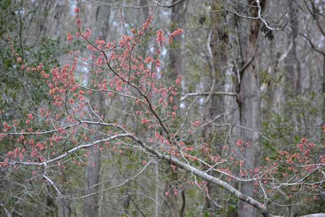
The next major bend in the river was directly ahead, and our map showed this place to be the entrance to Wambaw Creek. 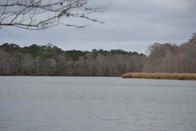 We left the river and in a minute completed our circling of Hampton Island, beginning our retracing of the passage up Wambaw. The result of the tide’s change was apparent as we used it on this return paddle. Clouds had obscured the sun a while ago, and the relative coolness worked well with our digging into the water with increased effort. In passing by the bluff with the picnic table again, I noticed that this place would have been well known by Native Americans for the access to high ground even in the high water encountered in freshets. Small red petals floated in clumps on the creek’s surface from red maples. These flowering signs of spring were coming out along the banks.
  It was not long before we rounded a bend and found the bridge ahead. Our canoe soon grounded in the muddy landing at the end of our wonderful paddle.
Bob,
As always, you bring such enlightenment to our incredibly warped perspective of lifes’ meaning. You inspire me with every entry to get out and really discover the blessings that surround us.
Thank You!
Thanks, Chuck, for the comments and the encouragement for my “launch” several years ago.
Love the pictures! Thanks for keeping the weather warm for our visit last weekend – 79 degrees when we left Charleston Sunday at lunch versus rain and 42 when we got back to Chapel Hill
Bob,
This is a magical section of water. The human history and natural history truly intertwine here. It is one of my favorite paddles. The section from Still Landing and up the Wambaw is perhaps my favorite section of river. It is a simple out and back trip and yields 1000 year old Cypress trees as well as mirror black water and plenty of “Life’s Extras” as Rutledge would say. The prothonotary warblers in the Spring are abundant. So glad you and Elliott do these things. c
It is magical. I’ll be looking for those 1000 yr old cypresses on the next paddle. For the careful readers of these posts, it was C’s Nova. And, Rutledge’s paddle into the fog on the Santee was a Life’s Extra.
Dad – Wish I could have been there with you and El, but love enjoying the adventure vicariously through your words and photos. Thanks for sharing these magical places with the rest of us.
We’ll put a Wambaw float on the agenda for the Painter family in the future.
Good to hear about your Wambaw trip. Debbie Alisha and I made that trip one spring when every thing was in bloom. We put in there at the bridge. Earlier a friend and I made the same trip except starting further up at the dirt landing.
The Wadboo and Quinby are also two great trips.
If ya want to do and overnighter hit the Santee River from Wilsons landing to Highway 52 landing.
that is a beautiful fall trip!!
Ah, infinite waterways (even in the Lowcountry it seems), and finite time.
bob,
peggy and i have done part of this trip in prothonotary warbler nesting season some years back. we too enjoyed the day immensely.
i wonder if it would be possible to attach a map to the posts? there are times that we would like to retrace your steps/paddles/sails but are not sure of the location or route.
just a thought.
please keep your travels and posts up. we really really enjoys the stories.
hsc
Maps are great. As you know, I drew maps for every trip in my books. Pretty labor intensive. How about if I put a link to a google map? I may do a trial, I’ll let you know.