It doesn’t take long walking on the Cape Trail to encounter birds. A group of whistling ducks congregated in the first wetland crossed. After passing through some cypress swamp and cattail marshes, the path left the upland and continued along a dike between wetlands.
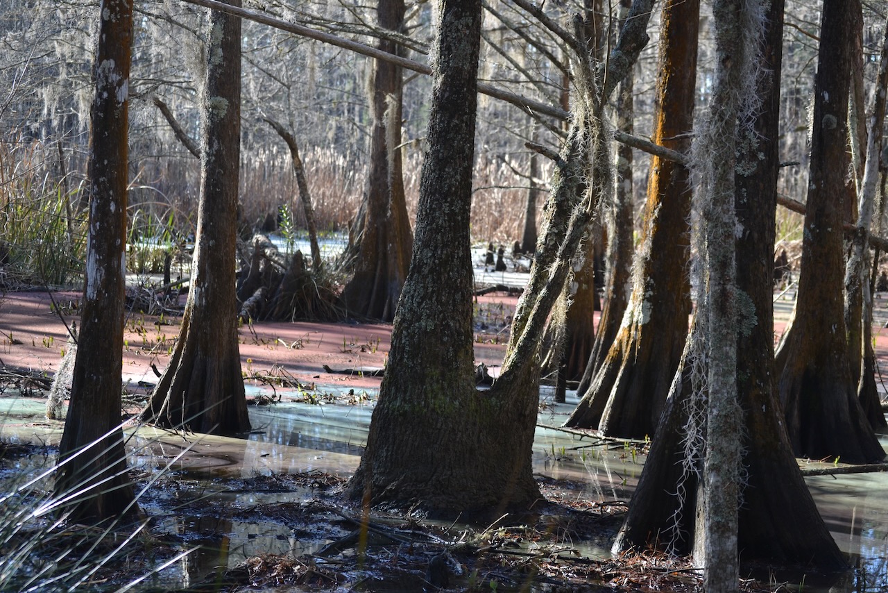
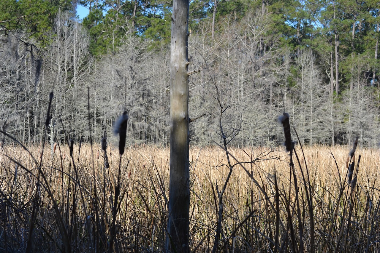
Ponds, mudflats, and canals provided prime habitat for a variety of birds.
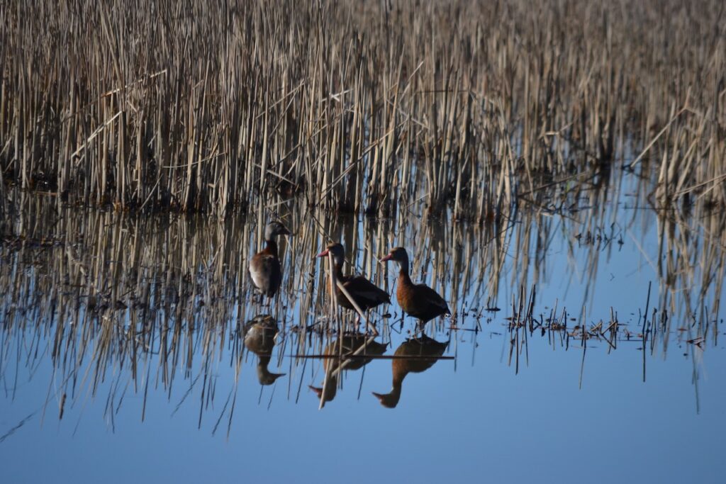
The ponds and canals were developed as part of the hydrological machinery for rice culture. Santee Coastal Reserve has many miles of dikes outlining the former rice fields now providing the habitat conducive for birds. How many miles of dikes? Bill Mace, former manager of SCR, estimated that in total including Murphy and Cedar Islands there were 35-40 miles of man-made dikes. Of the 24,000 acres of SCR, 18,000 were old rice fields or marshes. The transition from rice fields to duck marshes occurred throughout the Lowcountry of South Carolina, and made the Cape wetlands a mecca for birds.
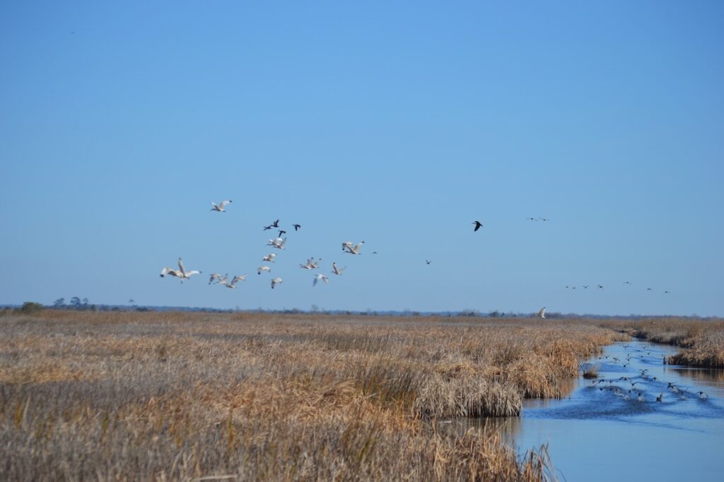
My previous walk at Santee Coastal Reserve was overcast and gray, but this experience on the Cape Trail was gloriously bright. Many species were spotted today, some close up, and others like the roseate spoonbills flashing pink in the distance. Moving further out on the Cape allowed the background din from Highway 17 traffic to dissipate, and brought into focus bird sounds. While some of that noise was loud and bold, like the explosion of ducks taking off from the marshes, and the squawking of herons, the overall avian symphony was calming. Their interaction with water made other sounds: coots swimming through marsh, ducks shooshing in for landings.
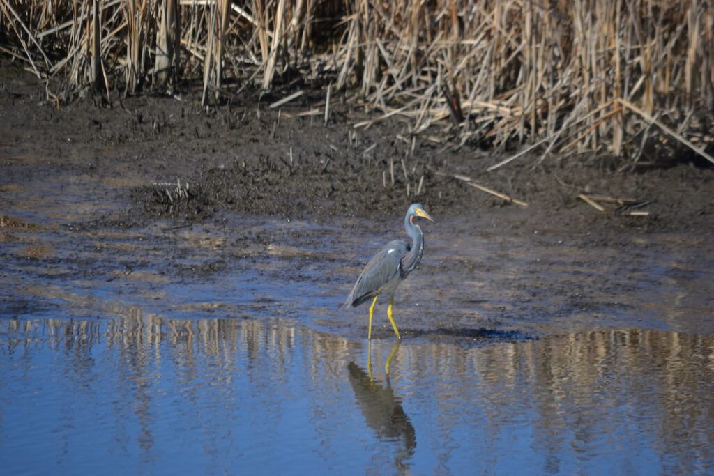
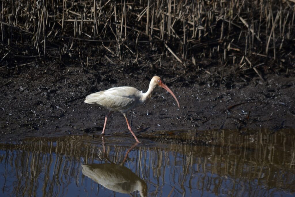
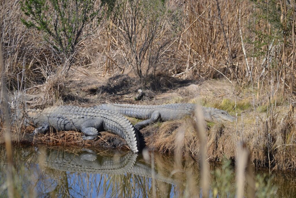
The long path to the east finally connected to a dike running parallel to the Intracoastal Waterway. A canal ran close to this dike, often with a screening of tall marsh grasses. Birds mostly unseen swam or flew off, and a turtle slid in off a log. Soon I heard loud splashes, and finally caught sight of alligators entering the water from sunning places on the bank. Further on a pair of larger gators did not leave their basking spots along the canal as I walked by. This dike brought other wildlife into my view – a pair of mammals walking ahead moved off the road but not before revealing their bobcat identity. Soon thereafter two birds of prey circled over the road – an eagle and a red-tailed hawk – and two vultures shared the airspace.
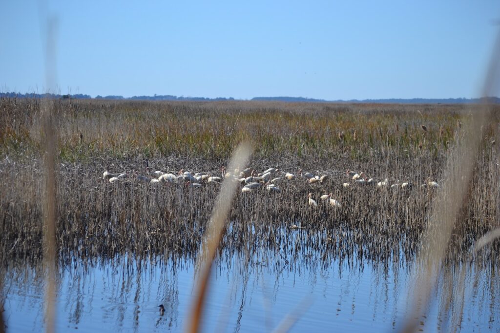
The turn back to the upland paralleled the South Santee River. On the left a canal edged the dike, and the wetlands stretched out to the south. A large patch of whiteness showed up in the marsh, appearing like a remnant snow pile in a parking lot – in fact a group of feeding ibises.
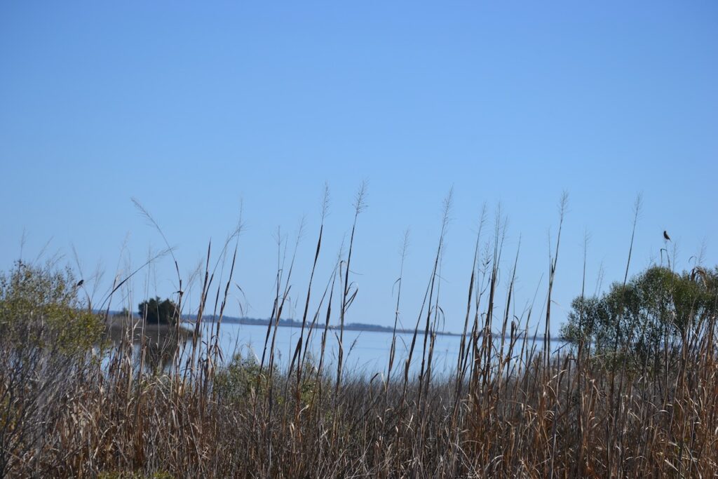
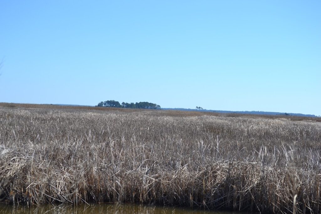
I had walked this dike with a friend two years ago, and the previously rough surface was more uniform. The wind continued to be calm, and the water’s surface was mirror smooth. Close to the upland, the dike turned back to the south. From this perspective the wetlands stretched out to the east, and in the distance Murphy and Cedar Islands faintly appeared above the marshes. The inlets around those islands are the place where the waters of the great Santee River meet those of the Atlantic Ocean.
Breathtaking photos! Thanks for sharing
It was a breathtaking day.
Stunningly beautiful……….thanks for showing this!
More to come