Of the many miles of trails/roads to walk at Santee Coastal Reserve, there was no better place to begin than the path to the Washo Reserve. The entrance was right across from the parking area next to the primitive camping site; a kiosk provided maps and info. (See Santee Coastal Reserve Trail map.) The sky was overcast, a cold northeast wind was blowing, and I pulled on an extra layer before setting off on this gray day.
Soon I entered into cypress-tupelo gum swamp forest, and welcomed the return to this ecosystem, a forest community I sought out last fall at both Beidler Forest and Congaree National Park. The cypress trees had their buttressed bases covered deeply in their fallen needles, and surrounded by their unique knees.
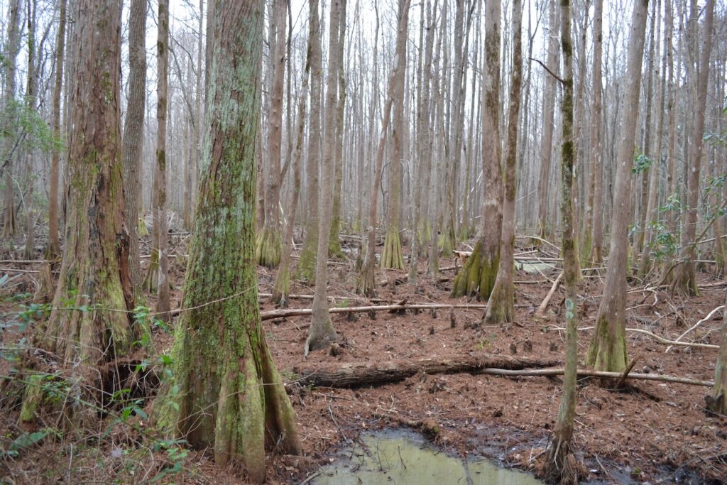
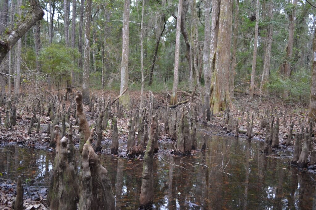
The Washo Reserve is a nature sanctuary owned by the Nature Conservancy (TNC) and existing as a 1040 acre inholding surrounded by the 20,000 acre Santee Coastal Reserve (SCR).The trail offers a quite weathered boardwalk for travel across wetlands reaching out to the impounded waters of the Washo. A sign informs visitors that the boardwalk is limited to ten people, and the support felt tenuous. The boardwalk terminus reached this end of the Washo waters.
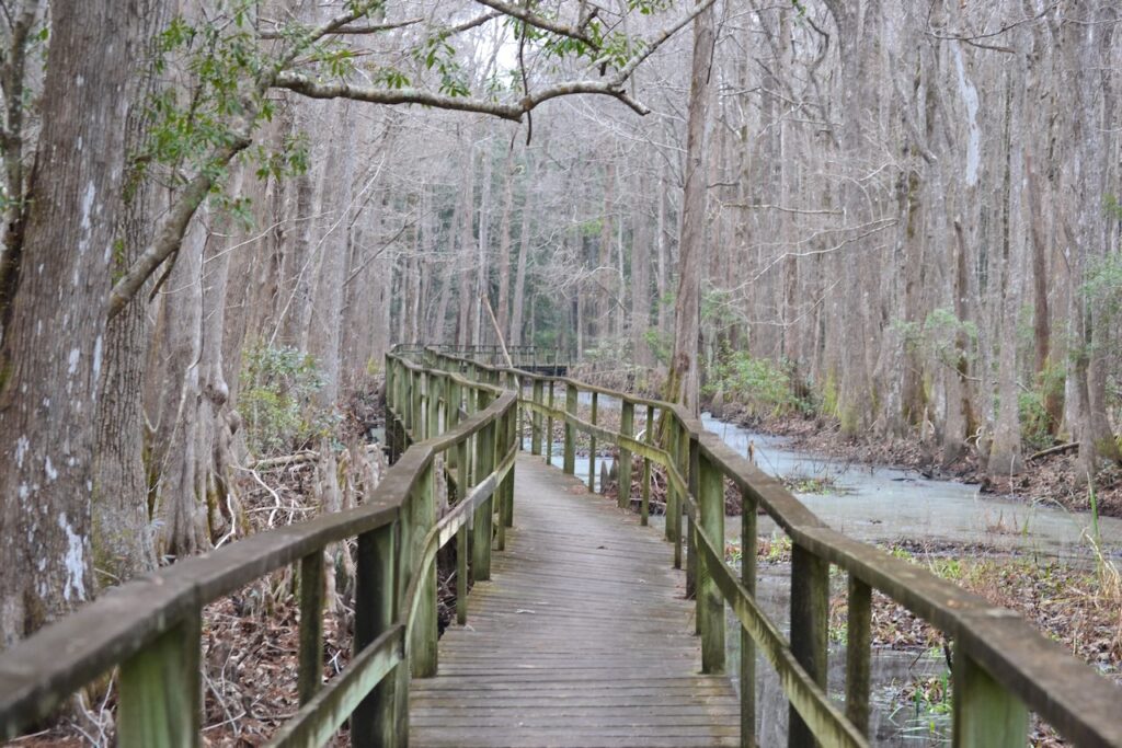
Retracing my steps, I stepped back onto land and crossed a short foot bridge. The trail continued through maritime forest to a crossroads of trails, with one path continuing as the Marshland Trail, a 1.9 mile loop returning to the parking area. I took the longer Ormand Hall Trail, listed as a 5.7 mile loop.
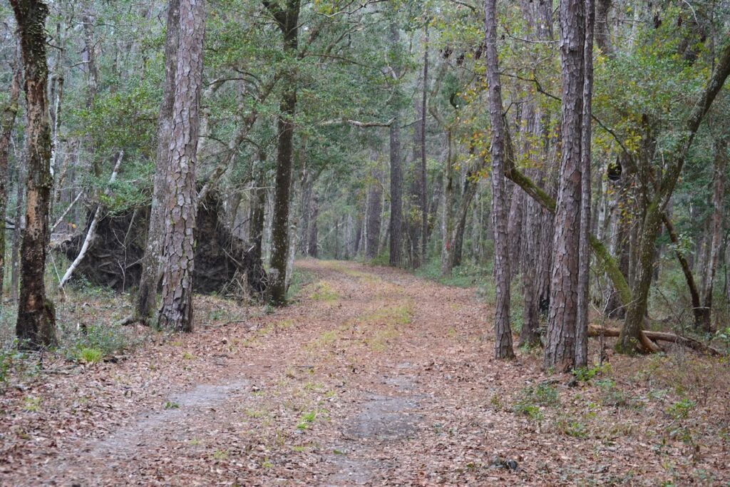
After this forest walk through uplands the road opened to a vista of the Washo waters, and crossed over a large water control structure. I retained a strong memory of paddling in a canoe loaded with cypress saplings as a volunteer during a TNC work project on a clear day – what I recalled was spring but was in fact January. The experience on the impoundment waters that day was sublime. The Washo has the distinction of containing the oldest wading bird rookery in continuous use in North America.
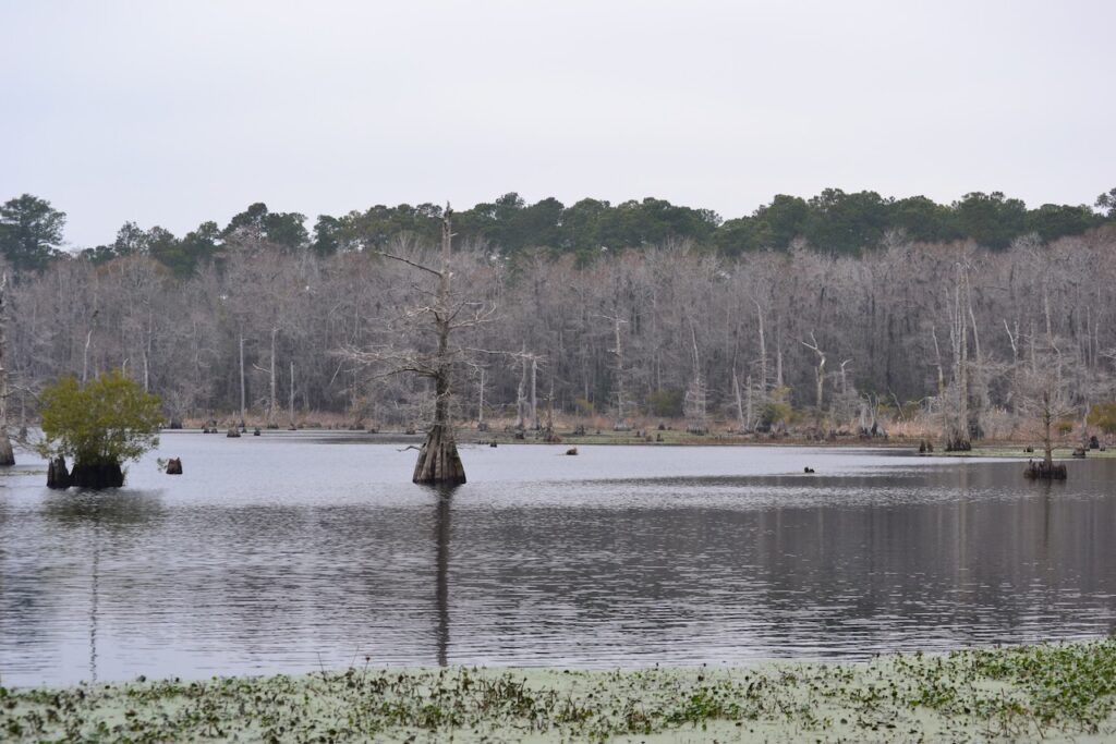
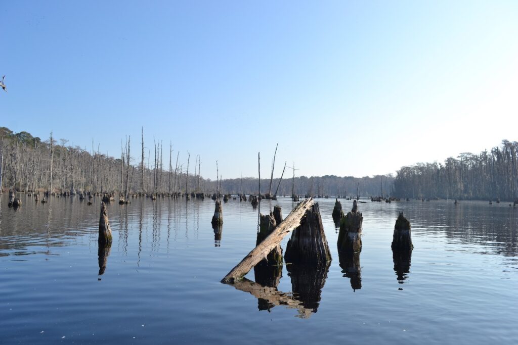
Today’s weather paled in comparison to that 2013 paddle on the Washo, but nevertheless it was a fine winter walk. Continuing on down the road I came to a fork indicated as Rattlesnake Crossroads, and I took the left branch to stay on the Ormand Hall Trail. Longleaf pines both mature and saplings were abundant, and a large field of grasses appeared on my right. Rather than take the full Ormand Hall loop, I turned left on Swamp Stand. Sure enough, I passed through a narrow slough containing cypress gum forest.
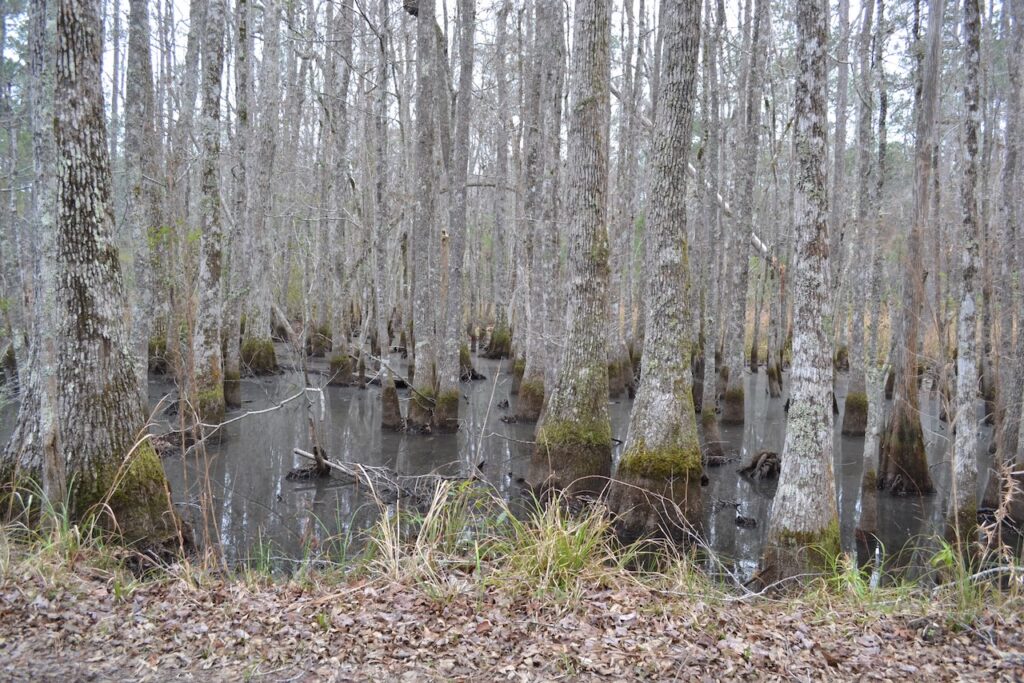
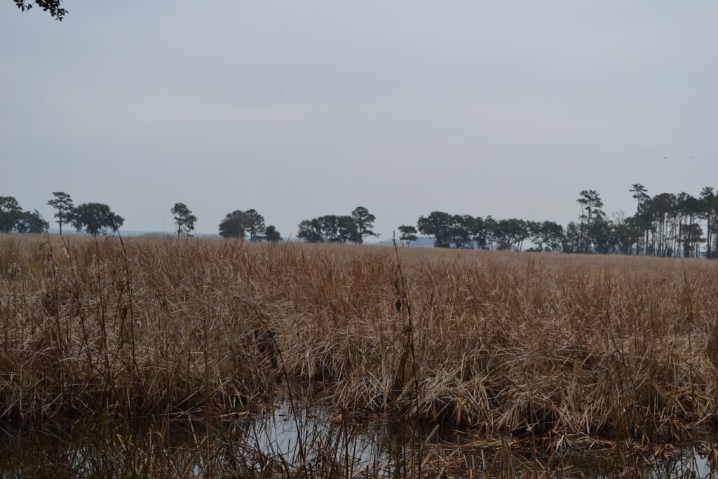
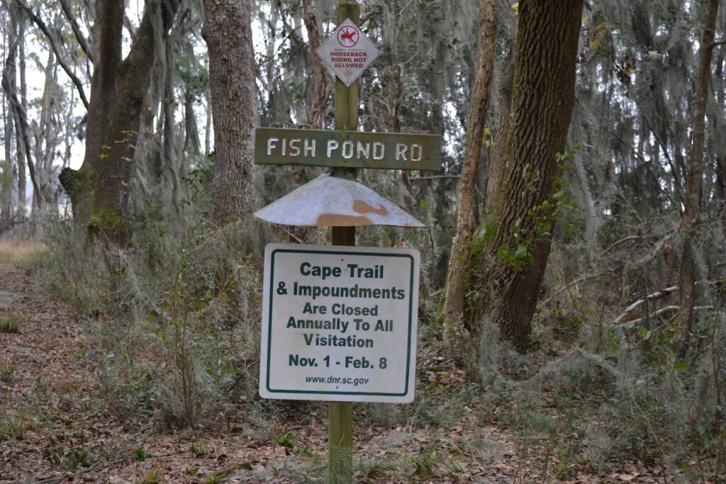
Continuing on to Ormand Hall Road, I turned left onto another pine straw covered path. This roadway runs along the edge of the uplands adjacent to the large tract of the Cape wetlands to the east. Views in that direction displayed the expansive landscape of old rice fields. I had walked this trail with friends about two years ago, and we had taken a loop out into the Cape – the Fish Pond Road. With the Cape closed during the migratory waterfowl season, the entrance to the Fish Pond was marked with a sign declaring the dates of closure. Respecting this limit, I trodded on.
As part of the acceptance process, I have had to learn how to walk. In the past I would only engage in walking when hiking – in the mountains or on Lowcountry barrier islands. My chosen exercise was running to maintain fitness or occasionally to partake in a road race, the 5-10 K variety. It is only after my most recent retirement from running – there have been many – that I have become acclimated to daily walking, sometimes just stepping out the door and walking in the neighborhood. I have observed much more with this form of locomotion versus running or cycling.
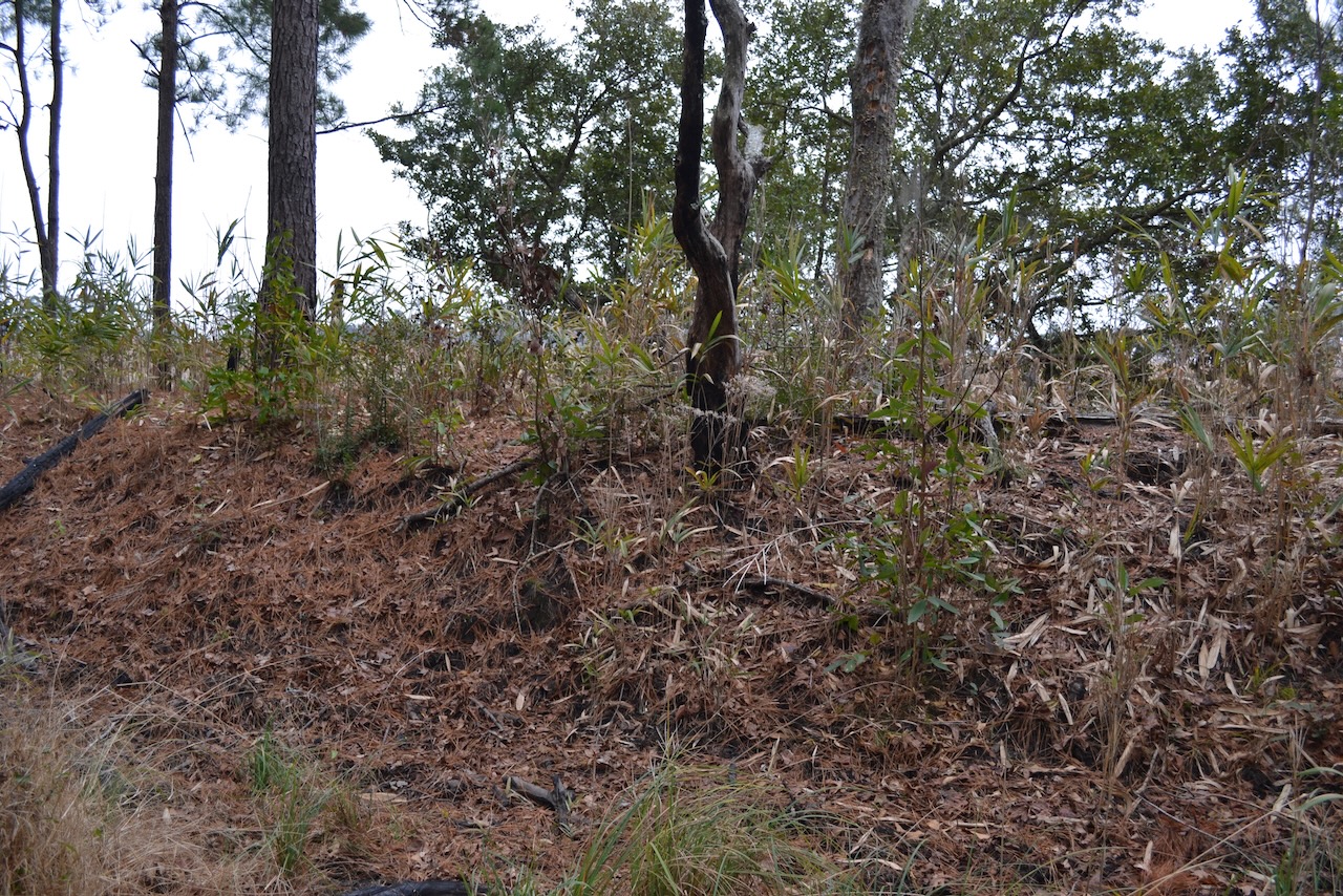
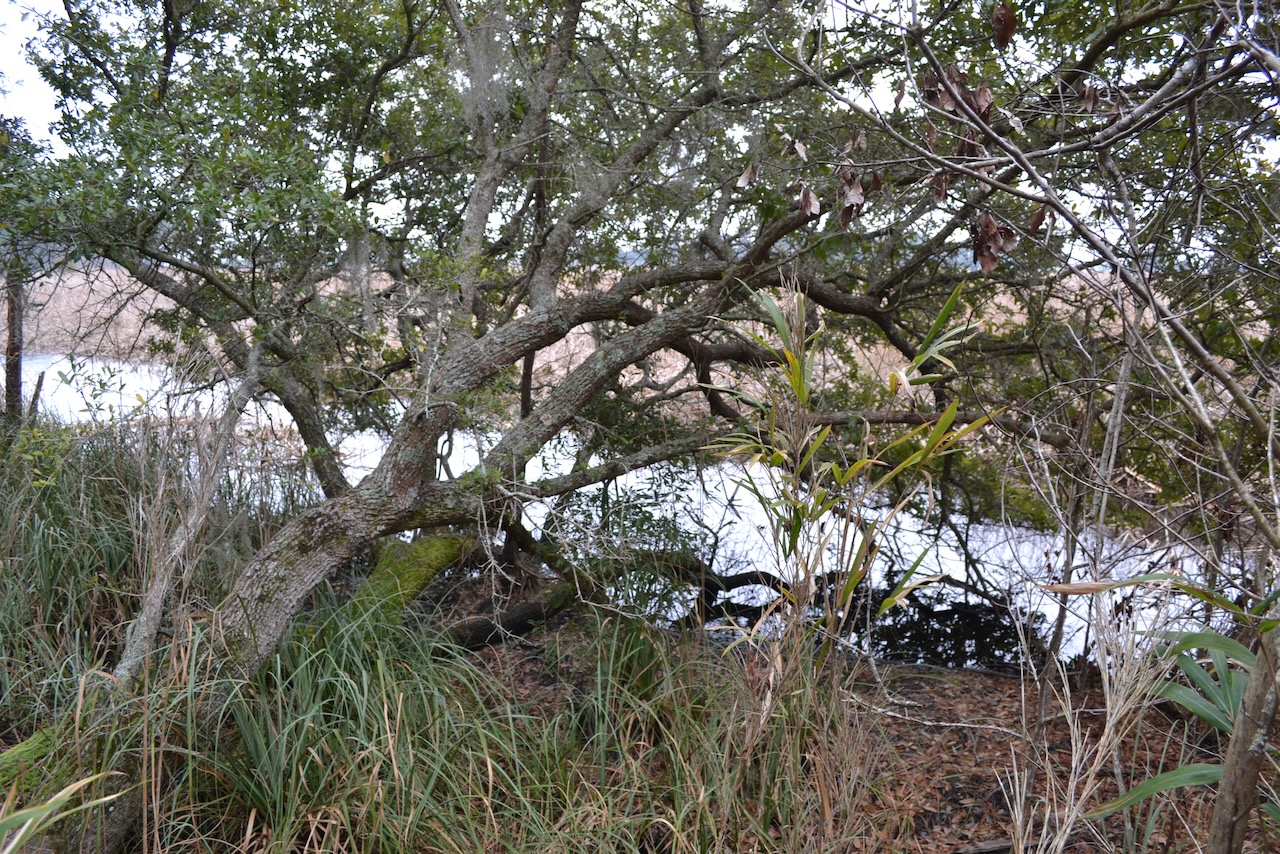
Ormand Hall was one of the plantations that was put together to form the larger Blake’s plantation, and becoming part of Santee Coastal Reserve in 1974. The landscape maintained a flat terrain, and the miles of walking had the potential for numbing. I noticed a long mound just off the trail toward the wetlands, and stepping over my hunch was confirmed – the mound was the removed earth from the digging of a canal paralleling the mound and on the edge of the wetlands. This was surely a canal dug by enslaved workers and utilized for rice culture.
I returned to the roadway to continue the walk into that northeast wind. A different sound alerted me – a thump? A wing beat? I caught the white flash of the tail of a mature bald eagle as it flew off beyond the pines to the west. In my trips to SCR I more often have seen eagles than not.
An opening to the horizon beyond the mound enticed me to stray off the trail again. On that overgrown mound I noticed a couple a black bodies coming through the brush in my direction. I initially thought wild turkeys, but no, they were feral hogs, and unaware of my presence until I announced “GIT!” in my best Yosemite Sam voice. (I use this exclamation with my grandkids for fun.) They took the hint and rustled off before I could turn my camera in their direction. Years ago my son and I had seen a group of feral hogs running across one of the Cape wetlands, a scene Eliot described as out of an African landscape.
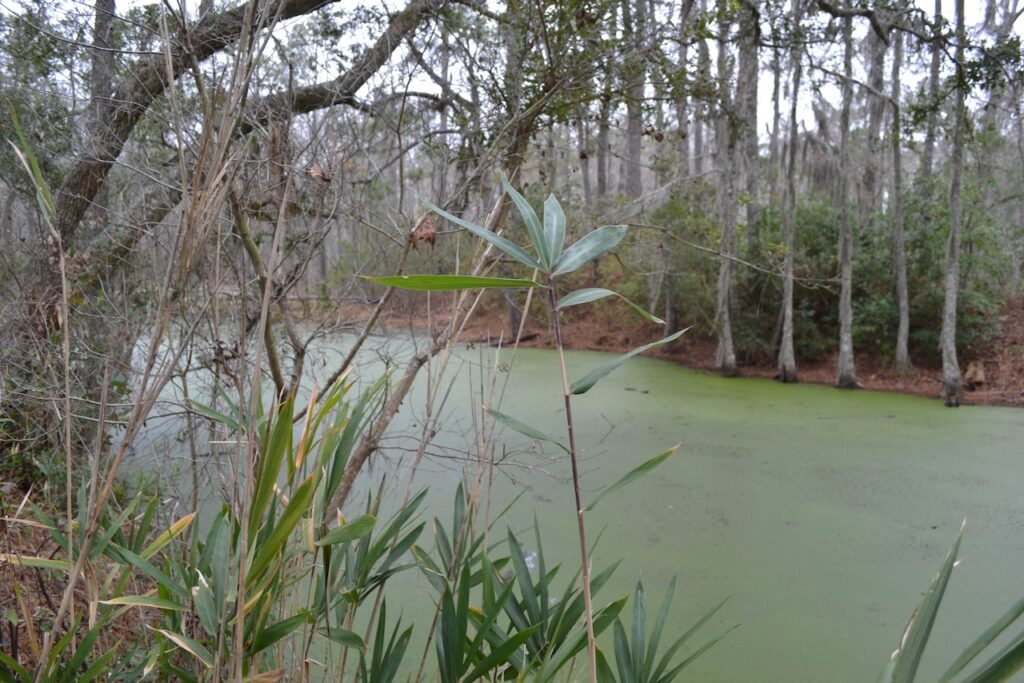
Another feature appeared on the west side of the road. I walked through the brush and came to a small pond, its surfaced covered by duckweed. I imagined alligators inhabiting this water feature, though there was no possibility for an emergence from their winter shelter today.
Besides these natural features “hiding” in the landscape, a history of Ormand Hall is hidden. Part of this tract of land was at one time owned by John Williams, also known as “Mullatto Quash.” He was a free black, winning his freedom probably through his work as a carpenter and joiner. The four hundred acres, after it was sold to satisfy other debts of Williams, eventually passed to the Middleton family.
The long straight of the Ormand Hall road reached several junctions and turns, and the familiar intersection with the well marked Cape Trail before a final turn to finish the loop. The equipment area and its sheds lay ahead, but not before the road passed over another wetland. The numerous wetlands of SCR provide excellent habitat for migratory waterfowl and wading birds, and three mallards flew off, leaving a solo great egret.
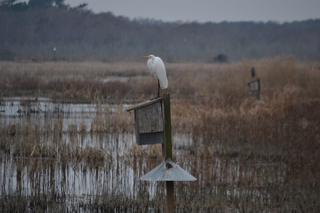
February 8 was not far off. Afterward the miles of trails on the Cape would be open for visitors again, and many more good walks.
Your pictures and story captured the chilled stillness of the Reserve beautifully. It’s been a while since I have visited this location. Once again, you’ve stirred a reader to retrace your footsteps. I thank you for that.
And thank you Scott. Many trails there to explore.
A favorite place of mine
Mine too. Time to get out there again.
Keep up that great walking as we benefit from your observations and wonderful stories!
Thanks Pam I will.
Nice Rob! Thanks again.
Glad you tuned in.
One of our favorite places 🙂 and chuckled at your observation that walking better facilitates observation than running/cycling . I concur.
Ginny
Easy to miss stuff too if your mind is elsewhere.
How lucky we are to live in a place that has room for all the creatures, and even offers some peace and privacy during migration. Thanks for sharing the beauty and thanks to TNC for setting land aside!
I second your comment about TNC and their work.
Bob – We particularly enjoyed the history of Ormond Hall. Years ago, Tommy Graham and Jim and I found an old map in the cabin on Murphy’s and it shows that the dike in front of our house ended the Santee Delta rice culture. We were told that the family at Ormond Hall – except for the father who was in Charleston at the time – died in an early 1800’s hurricane. I used to go the the house site when we first came here and a pile of bricks was visible. Last time I was there I couldn’t even find the site, much less a brick. Thanks for the article. Patty
Oh yeah, Ormand Hall is in your neighborhood. Finding an old map in a cabin on Murphy’s sounds like quite an adventure. Thanks for adding to that history.
Been many a year since I walked out there, but vividly remember the beautiful and peaceful view of the swamp from the boardwalk with all the waterlilies, alligators, and turtles. Apparently, it was more sturdy back then, no advisory. Thanks for triggering that memory!
Still a most beautiful place.