I have been visited by unwelcome visitors recently in an array of forms. Bothersome pains, old and new. Worries, anxieties and fears that inhabit the mind, and spill over though one’s being. Nagging pains, nagging doubts, unconsciously and consciously making their presence known; concerns for both physical and mental challenges. Still with a residue of these irritants, I set sail south in the ICW on the outgoing tide toward Prices Inlet. The west wind required only a few hitches off of a long close hauled starboard tack prior to bearing off in Prices Creek. I recalled being on the coast in my free and energetic youth, and not missing the opportunity to go sailing out Masonboro (NC) inlet if the sea breeze was blowing and tide was falling. I would not let the moment go for fear of missing out.
There was a summer fleet of boats anchored on both sides of the inlet enjoying the west breeze and cooling waters on this hot Lowcountry day. I was uncertain, pondering my course at this point: going back inside and running north through Bull Narrows, or continuing out the inlet toward a circumnavigation. A little hesitation in my mind, both caution and the vestige of my “visitors.” I came out of my head to someone waving from Capers Island, the waver resolving into my neighbor Brantley Arnau. Along with wife Penny and friends, they were enjoying the sun and sands of this beautiful spot. I rounded up to land, and Brantley accepted my offer, taking my spot in Kingfisher and sailing off in these protected inlet waters. I chatted with the group, and surveyed the inlet from this vantage point. Prior to Brantley’s return, and based on the reassuring conditions, my mind was set for the circumnavigation.
WIth small swell and moderate wind strength, I planned on a “shortcut” – crossing the long shoal stretching off Bull Island’s south point for almost a mile. There appeared to be several “channels” across this bar covered with small surf, and I chose one for my crossing. I only entertained this possibility due to the relatively gentle conditions, since I was consciously sailing onto what was technically a “lee shore”, the wind astern. Despite pulling my daggerboard all the way out, my rudder soon hit, and losing steerage I hopped out, popped up the rudder, and began to walk Kingfisher along in the shallows. FInding a little more water, I dropped the rudder down, jumped on, and began to sail for the open water beyond, leaving the daggerboard as companion in the cockpit. One last obstacle was the swell breaking on the shoal’s far side, but choosing the best spot to climb over we broke out into the open Atlantic.
We ran down the island offshore, graced by a following wind and the murmur of surf on the strand. Looking aft, we had left the inlet’s challenges, released to this peaceful sea and solitude. 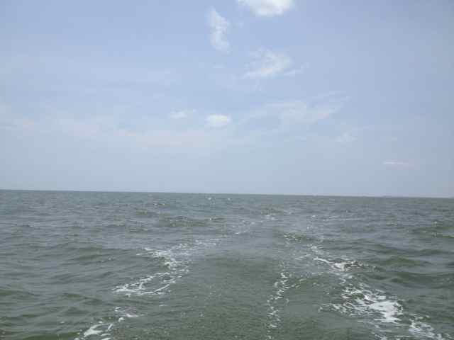
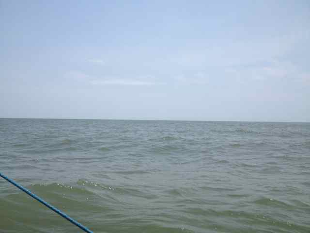 The Boneyard was ahead, and in the approach just outside the breakers a couple of beach wanderers appeared.
 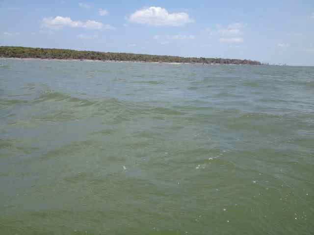 We came around with a view to the Northeast Point, approaching both that turn and the point of low tide. In these moderate conditions, the navigation was easy, and I was familiar with the little channel to take me into the inlet at the Point. But at this completeness of the ebb, I learned about a new shoal. I expected to round close to the point, but a young adolescent wading on an ankle-deep shoal kept me off for a more round-about turn. The inlet found, we came up for a landing along the shore.
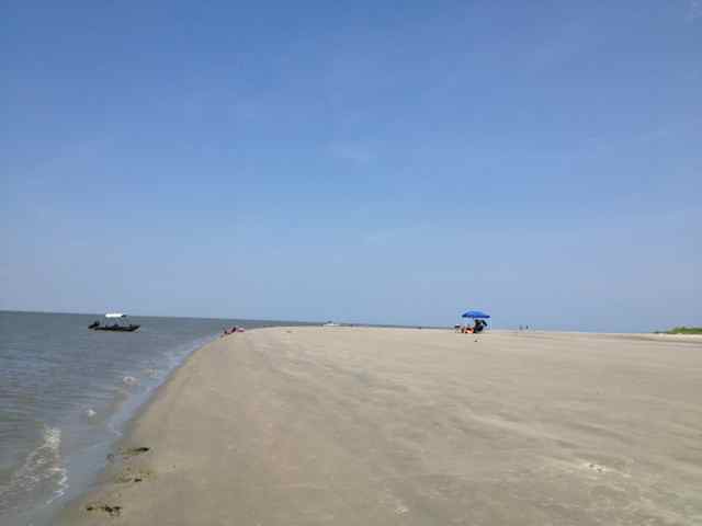
I anticipated the wind to come around more to the southwest, a predicted swing that would have been most favorable for our last leg across the Bay and home. But it was not to be, and we began our final passage with the wind right in the nose. The tide was just beginning to rise, and the waters were most shallow. I continued to find my way out of the channel, running aground repeatedly, as we tacked to and fro. A blue-hulled outboard deceived me into an assumption of more water to the southwest, but it was clear by the time I reached the opening into the marsh at Andersonville Creek that they were aground and waiting for the rising waters to get off. We managed the final passage through the creek, and came into the ICW with black skimmers, a signature bird of the summer, positioned on a mud flat to starboard. After landing and hauling out, a wave of these skimmers passed overhead in their search for food.
* * * * *
On returning from a trip out to Indiana, I took the opportunity to stop off at Great Smoky Mountains National Park to camp and hike for a couple of days. I still wondered if the recent exasperation of my lower back problems would allow my usual hiking plans. After a late afternoon walk to Hen Wallow Falls near the Cosby campground, I turned in early at my camp site, preparing for a more rigorous and longer hike the next day.
A little after 7, I was headed up Low Gap trail, taking an easy measured pace in the 2.6 mile climb up to the Appalachian Trail. 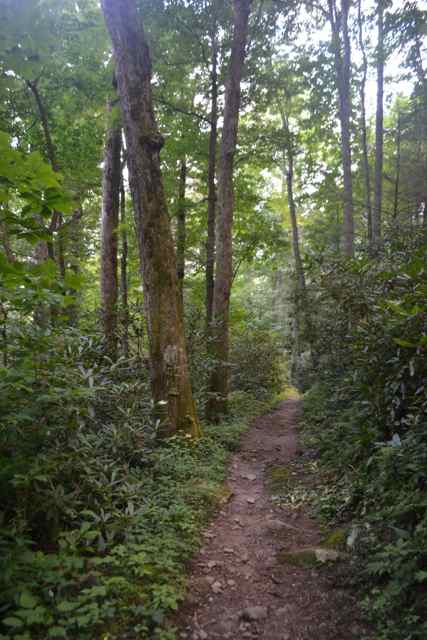 I had the trail all to myself, enjoying the wild solitude ascending to the junction at Low Gap. I met my first hiker for the day, Dwight, a Tennessee hiker, finishing up four days on the AT. Two Wisconsin women came through next, completing the entire AT in GSMNP (about 70 miles) on day 7. Despite the lateness in the season for wildflowers, the peak being April in the Park, Low Gap presented an open area with a number of blooms which I continued to find along this historic ridge trail.
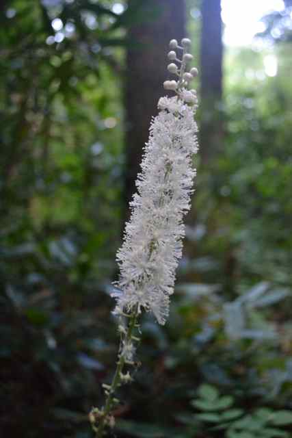
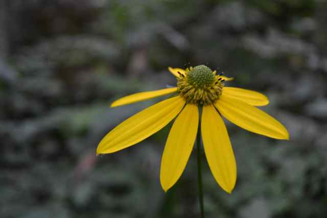
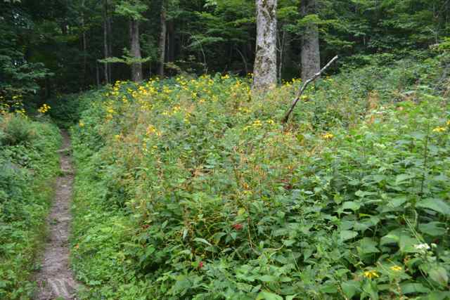 I have been disappointed at times reading about the peak bloom in April, and never having experienced that phenomenon in my life. FOMO – fear of missing out – had reared its ugly head. On this day blooms new to my eye enlivened the path.
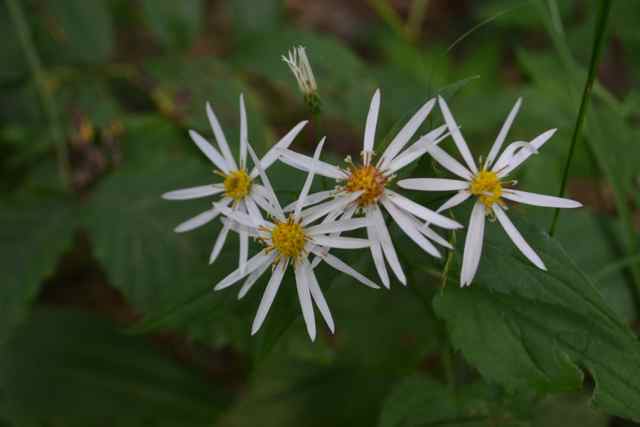


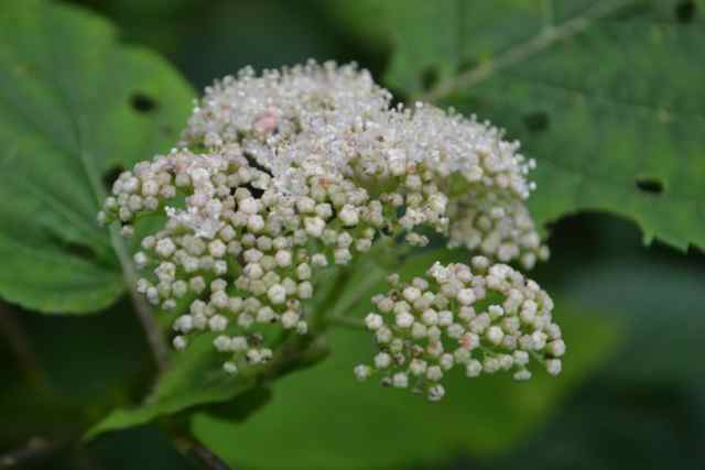
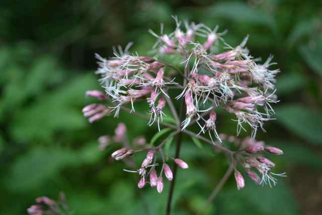
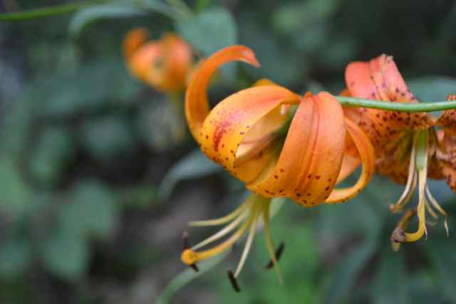 I headed in the opposite direction to the west on my proposed loop hike. In my mind I was prepared to back-track and retrace my footsteps, but my progress along the trail, time of the day, and my physical condition all pointed toward the longer hike. I occasionally ran into other groups of hikers, but mostly I was alone “one foot in Tennessee, and one foot in North Carolina”. Occasionally I would come to an open vista: one on the North Carolina side looked down into the Big Creek watershed and the Mount Sterling ridge as the massive backdrop, with the Cataloochee valley miles beyond.
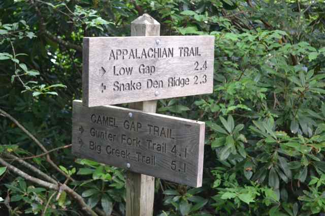
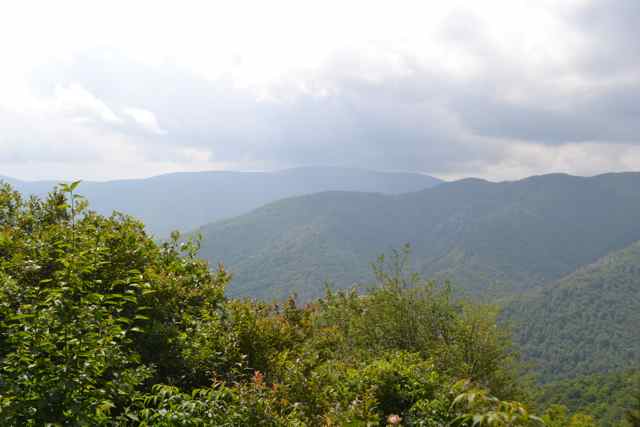 The middle of my 4.7 mile section of the Appalachian Trail came at Camel Gap.
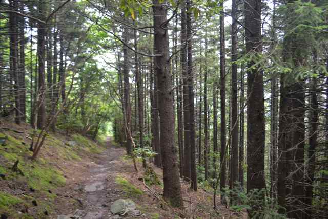
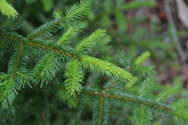
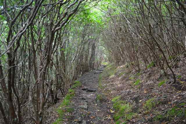
  The trail passed through various forest communities, including tunnels of rhododendron thicket, blackberry thicket, and spruce-fir forest, changing the botanical communities and the feel of the trail frequently.
 A group of Michigan Boy Scouts with leaders sat at the trailhead for my descent toward Snake Den Ridge Trail.
I knew the trail would be all downhill, and steep. I stopped to talk to a couple hikers coming from a backcountry campsite down Maddron Bald Trail. Just five minutes down Snake Den Ridge I ran into three sitting hikers who asked me about the distance to the trail junction. They were overjoyed to hear the news, having been ascending for what seemed to them a most long and difficult time. A ranger had described the hike up Snake Den Ridge to them as “brutal”, a climb I suffered through a year ago. Alone again, I enjoyed returning to the cove hardwood forest community, and experiencing the bounty of these magnificent mountains, covered with ferns along the forest floor as far as I could see. 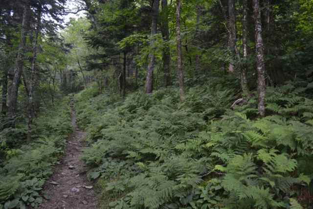 I was aware of the strain of walking down steep trails, and was glad I was using my budget trekking poles to save my body.
I was surprised after a sound night’s sleep to rise to a body feeling no ill effect of the previous day’s exertions, and in fact my nagging back problem seemed improved from recent days. As I drove away from the campground, the town of Cosby, and finally the last vista from the Foothills Parkway, I experienced that bittersweet feeling of leaving a place I love. A word came to mind, a balm for the loss – Cataloochee.
Wonderful job! Loved the pics, especially the flowers.
Understand all about unwelcome visitors.
Yes, they are occasionally still hanging around.
Bob,
Sorry about the back issues. Getting older is harder but stalwart onward and enjoy the beauty of life and Bull Island!
I actually hurt my back many years ago, and I have to pay attention to its health every day. Not infrequently, my mind will get me to do something, and my back rebels later.
Beautiful flowers and interesting content…a testimonial to the joys of an active life outdoors!
Truly are joys everyday out there.
Thanks for sharing — I too was missing your posts as they provide a great escape we can all enjoy from a distance…
What, you mean you don’t have your next trek up to Mt. Leconte scheduled?
I really enjoyed the mt. trek! It cooled me off after a 32m bike ride this AM!
Go Ginny go.
When I reached the AT my sweat gave a lasting chill for that ridge hike.
well that part of the AT that you walked provided an exciting experience for me and my two grandsons on their april spring break earlier this year. the projected weather looked great until the day we arrived in the smokies. from there it turned to worms. first night camping temp was 13 F with about 30 mph winds. next night around 30 F, comparatively balmy.
both of my knees { ITB } flared up in a big way. big pain every step. but we made it through the three days and finished the smoky mt portion of the AT. more this fall i hope. in the meantime ITB issues cured.
and it was a great pleasure for an ancient like me to spend the time with two teenage grandsons.
as always your descriptive capability provides great pleasure for me. i love your work!
Speaking of descriptive, I don’t think I have heard about the weather “turned to worms”, but I like it, and will flatter you in the future by using it. Since you mentioned it, I too am heading back to the Smokies in October with a couple of good friends/hiking buddies. Therefore the “balm” – Cataloochee. Beautiful valley on the east side. I actually took my grandson (age 1.5 yr) there last summer on his first mountain trip, and we’ll be on the trail together in the near future.
excellent. i will be on the AT in oct from dennis cove road to Damascus Va. if successful that trip will complete the AT for me between Fontana lake and Damascus. after that i will be working on the Springer mt to Fontana piece.
” turned to worms ” is a navy expression and was used by members of my squadron to mean all hell broke loose with the weather. happened many times while flying in the north atlantic in the winter of 1963 and 64 flying out of iceland.
Imagined the Thru Hike?